 ★★★ 3-star
Region · capital Ho
Hotels in the Volta Region
The Volta Region stretches from Lake Volta to the Togolese border, with Ho as its capital and Hohoe as the gateway to the falls and hills. Here is how to choose a base and a place to stay.
IMPT Ghana editorial team · Reviewed 13 November 2026
At a glance
- Main town
- Ho, the regional capital
- Airport distance
- about 132.5 km to Ho
- Districts covered
- Ketu South, Ho and Hohoe
- Main festival
- Hogbetsotso, Anloga, November
The character of the Volta Region
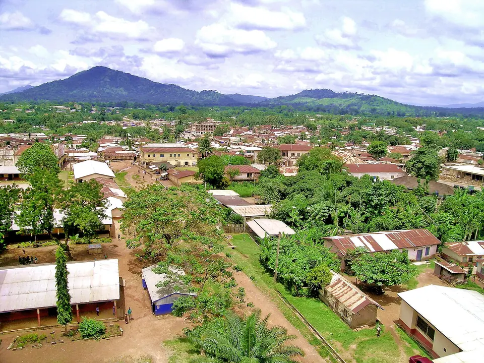
The Volta Region runs east from the Volta River to the border with Togo, taking in the lower reaches of Lake Volta, wooded hills and a short stretch of Atlantic coast. Ho is the regional capital and the main service town. The region is home to the Anlo Ewe and other groups, and Ewe is widely spoken alongside English. Travel here is quieter than around Accra: lighter traffic, smaller towns, and a landscape of farms, palm groves and forested ridges.
Lake Volta, the reservoir behind the Akosombo Dam, shapes the western side of the region, and boat trips and island visits are part of the appeal. Inland, the Agumatsa Range rises along the Togo border. Mount Afadja, at 885 m, is among the highest points in Ghana, though nearby Aduadu is higher still. The south-eastern coast is low and sandy, with fishing towns, broad beaches and a border crossing at Aflao. Rainfall is higher in the hills, which stay greener and cooler than the coast through much of the year.
Ho, Hohoe and Ketu South
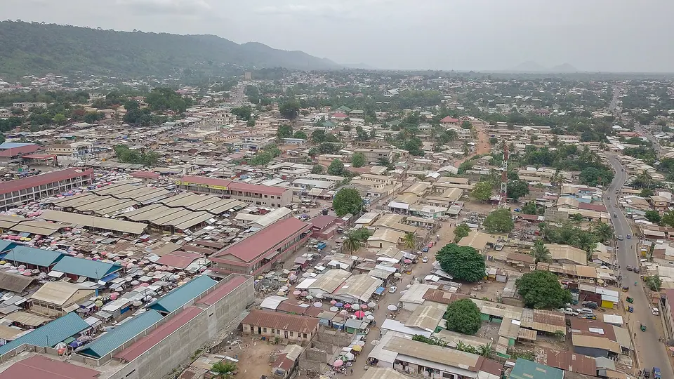
Ho sits on a plateau between the Volta River and the Togo border, a straight-line distance of about 132.5 km from Accra International Airport. As the regional capital it has the widest range of services: banks, fuel stations, a large market, pharmacists and the regional hospital. Most visitors use Ho as an arrival point, a place to sort out transport and a base for the northern hills. The town is spread out, so where you stay affects how easily you can walk to markets and eating places.
Hohoe lies in the northern part of the region, below the Agumatsa Range, and is the natural base for Wli Falls, the Tafi Atome monkey sanctuary and the climb up Mount Afadja. Ketu South, in the south-east, is border country: Aflao is the main crossing into Togo, busy with traders and coaches, and the coast lies a short drive south. Stays in Ketu South suit travellers who want an early crossing or a quiet coastal stop rather than town facilities.
- Ho: the regional capital, with the widest choice of services, transport and places to stay.
- Hohoe: the base for Wli Falls, Tafi Atome and the Mount Afadja trail.
- Ketu South: border country around Aflao, with the coast a short drive away.
What visitors come for
Wli, or Agumatsa, Falls lies near Hohoe, about 280 km from Accra by road, where the Agumatsa river drops in two stages below cliffs used by fruit bats. The Ghana Tourism Authority describes it as the highest waterfall in West Africa. The Tafi Atome sanctuary nearby protects Mona monkeys held sacred for about 200 years, with community protection dating from 1996. The walk to the lower falls is short and shaded; the upper falls take longer and are steeper.
Mount Afadja, at 885 m, gives a steep half-day walk with views over the border country when the haze allows. On Lake Volta, cruises and trips to Dodi Island run from the Akosombo side, and the dam itself takes educational visits. The Hogbetsotso festival at Anloga in November brings the Anlo Ewe home for a durbar on the first Saturday. Most visitors combine two or three of these with time in Ho.
Beyond the headline sights, the region rewards slow travel. The coast south-east of Ho has long beaches, fishing villages and lagoon country, with quieter stretches than the beaches near Accra. Inland, markets, kente weaving and farm trails fill a spare day. Birdwatchers do well in the forest edges and around the lake. None of this is set up for mass tourism, so arrive with flexible plans, cash and a willingness to ask locally.
- Wli Falls, near Hohoe, with lower and upper falls and fruit bats on the cliffs.
- Tafi Atome Monkey Sanctuary, where Mona monkeys are protected by the community.
- Mount Afadja, an 885 m climb on the Togo border with wide views.
- Lake Volta cruises, Dodi Island trips and educational visits to the Akosombo Dam.
Tip: Wli and Tafi Atome are usually visited from Hohoe, and the roads are partly unpaved. Check conditions after heavy rain, and start early to avoid the heat of the day.
Getting there and around
Accra International Airport, called Kotoka until the government restored the original name in February 2026, is the main gateway. Ho lies about 132.5 km away in a straight line, and the drive follows the coastal road through Sogakope before turning north. Intercity coaches link Accra with Ho and Hohoe; shared minibuses, known as trotros, cover shorter hops. The UK Foreign, Commonwealth and Development Office notes that trotro drivers are not centrally licensed and advises against road travel outside towns after dark.
Ho had no scheduled domestic flights in 2025, so nearly all arrivals come by road. Schedules change, so check with the Ghana Airports Company before planning a flight. In towns, taxis and shared minibuses cover most journeys, and a car with a driver is worth arranging for the falls, the monkey sanctuary and the border crossing. Roads to Wli and Tafi Atome are partly unpaved and can be slow after rain. Keep journeys between towns to daylight hours.
Tip: Distances look short on the map but the roads are slow. Allow more time than you expect for the Ho to Hohoe run, and check the current state of the Wli road locally.
When to visit and where to stay
The south of Ghana has two rainy seasons, roughly April to June and September to November, and the north has one, peaking around August and September. The Volta Region sits between the two patterns, so rain can arrive at almost any time in the hills. The harmattan, a dry and dusty wind, blows roughly December to March. Ho and Hohoe are higher than the coast and slightly cooler, which makes walking and waterfalls more comfortable.
Hogbetsotso at Anloga is a major annual gathering, held in November with a durbar on the first Saturday. Dates shift, so confirm the year's programme before booking. Public holidays can fill rooms and close offices, and Ghana's holiday calendar changed in 2025: Republic Day on 1 July is a holiday again, and some holidays now move to a Friday or Monday. Weekdays outside holiday periods are quieter at the falls and the border.
Choose a base by what you plan to do. Ho suits travellers who want services, transport links and a range of places to stay; Hohoe suits early starts for Wli Falls and the monkey sanctuary; Ketu South suits an early border crossing or a coastal stop. Ask about backup power, water supply, mosquito nets and whether meals are served, since smaller places may offer few nearby options. Confirm how far a place is from the road, and how you will reach it after dark.
the Volta Region by district
Top-rated stays
★★★ 3-star ★★★ 3-star
 ★★★ 3-star
 ★★★ 3-star
 ★★★ 3-star
 ★★★ 3-star
 ★★★ 3-star
 ★★★ 3-star
Where to stay
Other stays in Volta Region
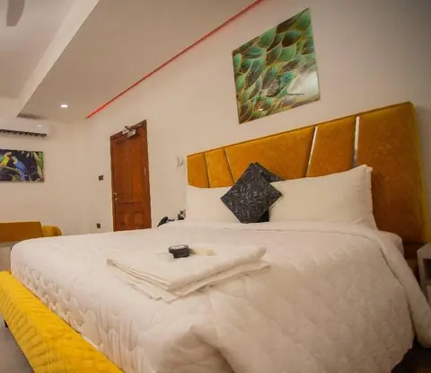
5 stays with a guest score or a four- or five-star rating in the IMPT database, five-star first, then four-star, then the rest by the booking supplier's guest score. Prices and availability are live in the IMPT app.
★★★ 3-star★★★ 3-star★★★ 3-star ★★ 2-star
More places to stay
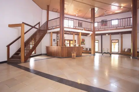
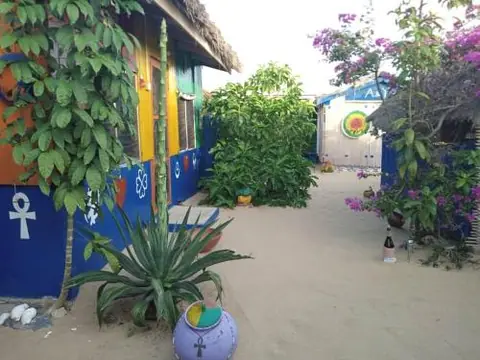
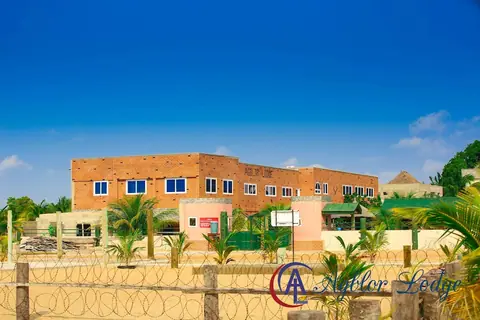
Further listings in the IMPT database with fewer details from the booking supplier (no guest score yet). Check them on the property's page before you book.
the Volta Region: questions
Where should you stay when visiting the Volta Region?
It depends on the trip. Ho suits travellers who want services and transport links, Hohoe suits early starts for Wli Falls and the Tafi Atome sanctuary, and Ketu South suits an early crossing at Aflao or a coastal stop. Many visitors split a stay between Ho and Hohoe rather than moving every night.
How do you get to the Volta Region from Accra International Airport?
By road, in most cases. The airport is the main gateway, and Ho lies about 132.5 km away in a straight line. Intercity coaches run from Accra to Ho and Hohoe, and shared minibuses cover the shorter stretches. Ho had no scheduled domestic flights in 2025. Check current schedules and road conditions before you set out.
Which districts of the Volta Region does this guide cover for hotels?
This guide covers three districts: Ho, around the regional capital; Hohoe, in the north below the Agumatsa Range; and Ketu South, on the Togolese border around Aflao. Each district has its own page, and this overview explains what distinguishes them so you can pick a base before comparing individual places.
When should you plan a stay in the Volta Region?
Any month works, with trade-offs. The south has two rainy seasons, roughly April to June and September to November, and the harmattan brings dust from about December to March. November brings the Hogbetsotso festival at Anloga, when rooms fill, so book early. Ho and Hohoe are cooler than the coast and comfortable for walking most of the year.
Are there beaches near hotels in the Volta Region?
The south-eastern coast, in Ketu South and around Aflao, has long sandy beaches and fishing villages, quieter than the coast near Accra. These are working beaches rather than resort strips, with few facilities, and swimming depends on currents and local advice. Ask locally before entering the water, and take what you need for the day.
What can you see on day trips from hotels in the Volta Region?
From Hohoe you can reach Wli Falls, the Tafi Atome monkey sanctuary and the Mount Afadja trail. From Ho, Lake Volta cruises, Dodi Island trips and educational visits to the Akosombo Dam are possible, though they make a long day. The Hogbetsotso festival at Anloga in November is another reason to base yourself in the south.
How do you get around between hotels in the Volta Region without a car?
Shared minibuses, known as trotros, run between towns and are the main way to move around. Taxis cover shorter trips within towns. The UK Foreign, Commonwealth and Development Office notes that trotro drivers are not centrally licensed and advises against road travel outside towns after dark. For the falls and the border, a car with a driver is the simplest option.
What should you check before booking a hotel in the Volta Region?
Ask about backup power, water supply, mosquito nets and whether meals are served, since smaller places may have few nearby options. Confirm how far the property is from the main road and how you will arrive after dark. For Hohoe and Ketu South, ask about the access road, which can be slow after heavy rain.
Read next
Hotels in the Eastern RegionThe Eastern Region rises from the Accra plains to the Akuapem ridge and the Volta gorge. Its capital, Koforidua, and the ridge towns around it make a calm base for gardens, waterfalls and the lake.Hotels in Greater AccraGreater Accra holds the capital, the airport and the coast from Labadi to Ada Foah. This guide covers the region's districts, its seasons and the questions worth asking before you choose where to stay.Hotels in Ashanti RegionAshanti Region is the old heart of the Asante kingdom, with Kumasi at its centre. This guide covers the region's towns, how to reach them and how to choose a base for a few days.
IMPT Ghana editorial team · Reviewed 13 November 2026. Hotels are placed by their own map pin inside Ghana's official district boundaries (Ghana Statistical Service). Facts checked against the Ghana Tourism Authority (visitghana.com), the Ghana Immigration Service and other official sources listed in our editorial policy. Prices are never shown: live rates open in the IMPT app.
Find a stay in Volta Region
Photo credits: Zeal Creative Studios / Pexels; Zoomgh, CC BY-SA 4.0, via Wikimedia Commons; Hugues (on Flickr), CC BY-SA 2.0, via Wikimedia Commons.