 ★★★★★ 5-star
Region · capital Accra
Hotels in Greater Accra
Greater Accra holds the capital, the airport and the coast from Labadi to Ada Foah. This guide covers the region's districts, its seasons and the questions worth asking before you choose where to stay.
IMPT Ghana editorial team · Reviewed 13 November 2026
At a glance
- Region
- Greater Accra, south-east Ghana
- Regional capital
- Accra, also the national capital
- Main airport
- Accra International Airport (ACC)
- Drier months
- roughly December to March
Greater Accra at a glance
Greater Accra wraps around the capital and the stretch of Atlantic coast to its east. It is a compact region, easy to cross in a day when traffic allows, and it holds most of what a first visit needs: the international airport, the national monuments and museums, the old harbour quarter, and a line of beaches running towards Tema and Ada Foah. Business travel, family visits and coastal weekends all pass through here, so the range of places to stay is wider than anywhere else in Ghana. Towns that feel like fishing villages sit within an hour of the densest city streets.
The region is administered in districts, but most visitors navigate by neighbourhood names instead. Accra Central, Jamestown and Makola form the old core, where markets, monuments and the working harbour sit close together. Osu, Adabraka and Ridge fall under Korle Klottey. The airport corridor, with the Airport Residential Area, East Legon and Dzorwulu, belongs to Ayawaso West, while La Dade-Kotopon covers Labadi, Cantonments and Airport City. Further out, Tema and Tema West face the port, Madina and Adenta hold long-stay suburbs, and Ningo/Prampram and Weija Gbawe stretch towards the coast and the hills.
What visitors come for
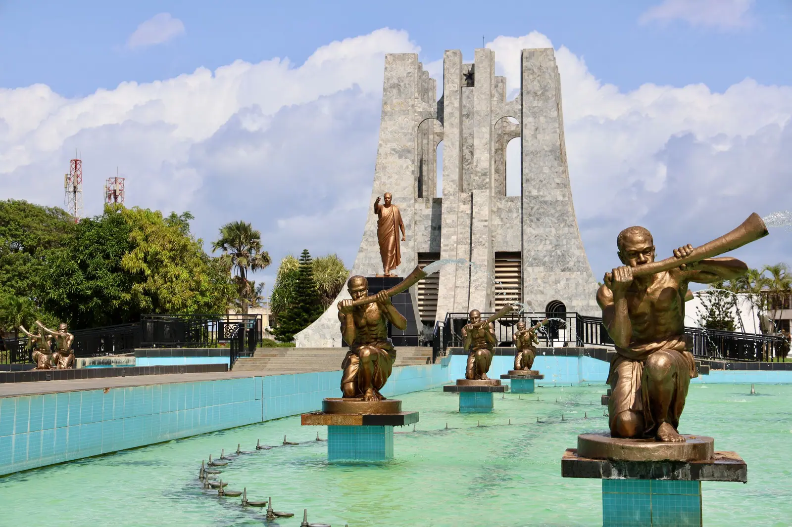
The classic city day begins at Makola Market, which lines Kojo Thompson Road in central Accra and sells cloth, produce and household goods in equal measure. The Kwame Nkrumah Memorial Park, redeveloped and reopened in 2023, holds the mausoleum of Nkrumah and his wife Fathia, along with a museum. Jamestown has the red-and-white lighthouse, a tower of about 28 m that dates from the early 1930s and replaced an 1871 light. Independence Square opens onto the sea, and the lanes behind it reward a slow walk.
Beyond the centre, Greater Accra turns coastal. Labadi's beach draws crowds at weekends, and the sand continues east through Ningo and Prampram towards Ada Foah, where the Volta meets the Atlantic and the estuary at Azizanya is busy with boats and swimmers. Inland, Shai Hills Resource Reserve covers about 52 km² of savanna roughly 50 km from Accra, with rock outcrops, caves and wildlife. Most of these places sit within about 30 km of the city districts, so a single base can cover a great deal of ground in a short trip.
- Makola Market lines Kojo Thompson Road in central Accra and sells cloth and produce.
- Kwame Nkrumah Memorial Park holds the mausoleum of Nkrumah and his wife Fathia.
- Jamestown Lighthouse is a red-and-white tower of about 28 m near the old harbour.
- Shai Hills Resource Reserve covers about 52 km² of savanna roughly 50 km from Accra.
- Ada Foah sits between the Volta and the Atlantic, with the Azizanya estuary nearby.
Districts and choosing a base
Accommodation in Greater Accra is best judged by area first and room second. Two addresses a few kilometres apart can mean very different journeys at rush hour, and the district tells you most of what you need to know. Ayawaso West, with the Airport Residential Area, East Legon and Dzorwulu, suits early flights and meetings. Korle Klottey, covering Osu, Adabraka and Ridge, keeps the museums, the market and the old town close. La Dade-Kotopon, taking in Labadi, Cantonments and Airport City, sits between the two.
For longer stays, look at Madina, Adenta, Ga East and Weija Gbawe, where quieter streets and larger compounds are common and the centre is a deliberate trip rather than a walk. Tema and Tema West work for the port and the coast road east of Accra. Krowor, Ledzokuku and Okaikwei North fill the ground between the airport and the sea. Wherever you choose, ask about the approach road, parking, a water tank and backup power, and confirm the current rate and what it includes.
- Ayawaso West covers the Airport Residential Area, East Legon and Dzorwulu.
- La Dade-Kotopon takes in Labadi, Cantonments and Airport City.
- Korle Klottey covers Osu, Adabraka and Ridge, close to the old town.
- Tema and Tema West serve the port and the coast road east.
- Ningo/Prampram and Ada Foah suit slower coastal stays with more space.
Getting there and around
Most visitors arrive at Accra International Airport (ACC), which was called Kotoka International Airport until the government restored the original name in February 2026. Terminal 3 opened in 2018, and the state airport company runs the country's airports. In straight-line terms the airport and Independence Square are both within about 10 km of the central districts, but traffic decides the real journey time, so allow more than a map suggests. Domestic flights leave for Kumasi, Tamale and Takoradi, though schedules change.
Within the city, shared minibuses known as trotros go almost everywhere and cost little, though the routes are not signposted for visitors. Taxis and app-based car services are simpler if you do not know the lines. The UK Foreign, Commonwealth and Development Office notes that trotro drivers are not centrally licensed, and it advises against road travel outside towns after dark. Distances between districts are short on paper, but build slack into any day that ends with an appointment on the far side of the city.
Tip: Plan road journeys for daylight. The UK FCDO advises against travel outside towns after dark, and Accra traffic can turn a short hop into an hour.
When to visit
Greater Accra has a tropical climate with a wet season and a dry season, and coastal Accra is comparatively dry for Ghana. The south has two rainy seasons, roughly April to June and September to November, and rain can fall from about March to mid-November. The harmattan, a dry and dusty desert wind, blows roughly December to March. It is strongest in the north, but it can haze Accra's skies as well. The drier months are the easier ones for beach days, roof terraces and long walks.
Festival time is worth planning around. Homowo, the Ga harvest festival, falls in August and September after a ban on drumming that begins around May. The Chale Wote Street Art Festival runs in August, and its venue has moved between Jamestown and Osu. Public holidays follow a 2025 rule that shifts many of them to a Friday or the following Monday, so check the year's gazetted dates. Republic Day returned on 1 July in 2025, and Founders' Day falls on 21 September.
Tip: Homowo and Chale Wote both fall in August, and dates move each year, so check the current programme before you book around them.
Greater Accra by district

26 stays · OtanorAdenta (around Otanor)Adenta Municipal district

7 stays · East AirportLedzokuku (around East Airport)Ledzokuku Municipal district
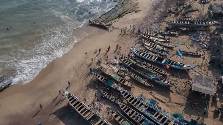
13 stays · PrampramNingo/Prampram (around Prampram)Ningo/Prampram district
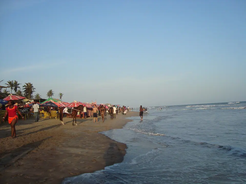
43 stays · CantonmentsLa Dade-Kotopon: Labadi, Cantonments, Airport CityLa Dade-Kotopon district
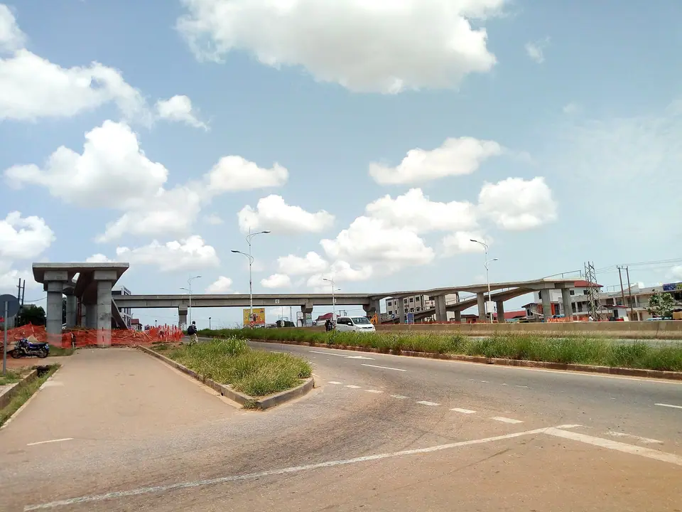
15 stays · AmanfrokooLa-Nkwantanang-Madina (around Amanfrokoo)La-Nkwantanang-Madina district
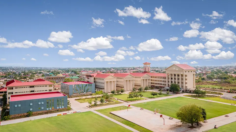
24 stays · HaatsoGa East (around Haatso)Ga East district
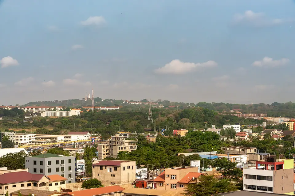
82 stays · ShiashieAyawaso West: Airport Residential Area, East Legon, DzorwuluAyawaso West district
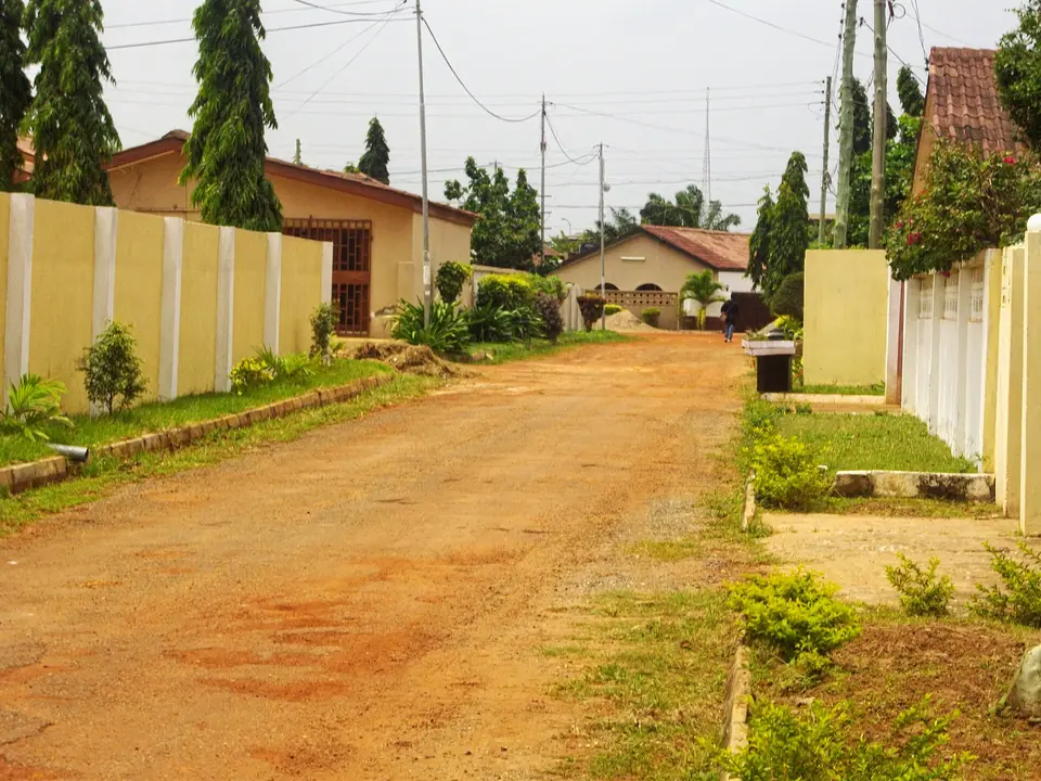
23 stays · BaatsonaTema West (around Baatsona)Tema West Municipal district
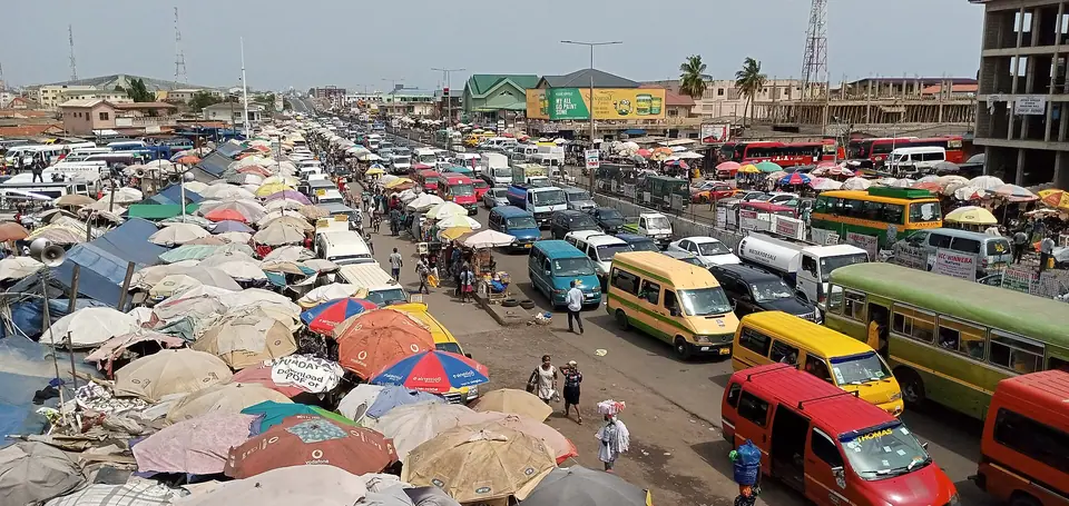
5 stays · KaneshieAblekuma Central (around Kaneshie)Ablekuma Central Municipal district
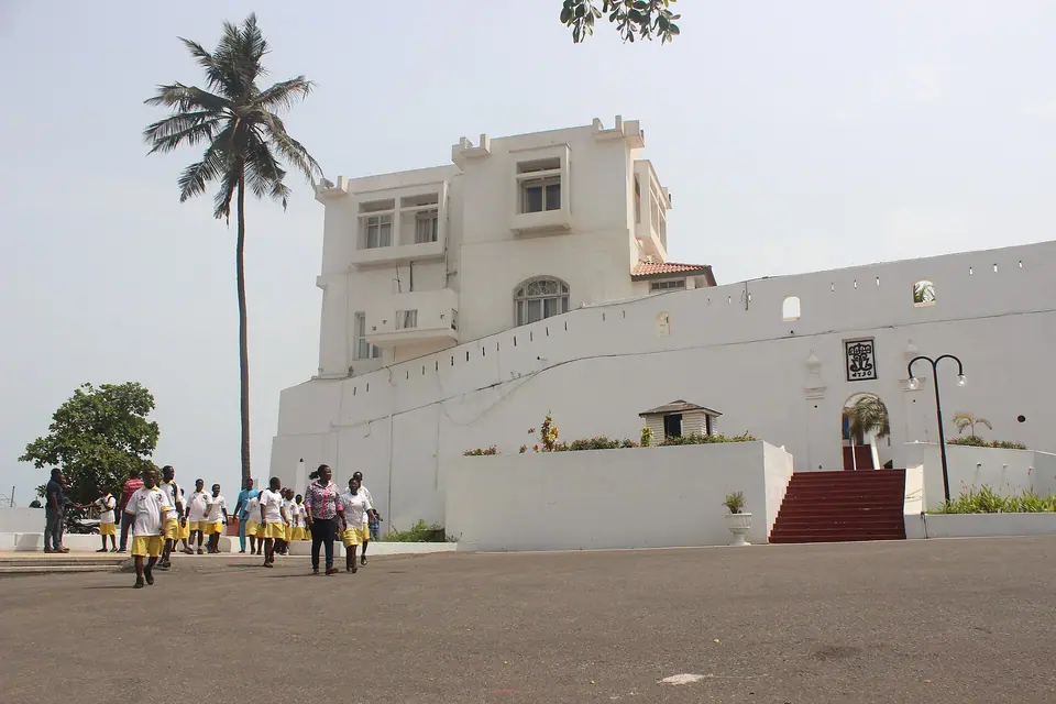
32 stays · OsuKorle Klottey: Osu, Adabraka, RidgeKorle Klottey Municipal district

14 stays · South OdorkorAblekuma North (around South Odorkor)Ablekuma North Municipal district

5 stays · SawabaAyawaso East (around Sawaba)Ayawaso East Municipal district

14 stays · Tesano EstatesOkaikwei North (around Tesano Estates)Okaikwei North Municipal district

7 stays · Mile 7Ga North (around Mile 7)Ga North Municipal district
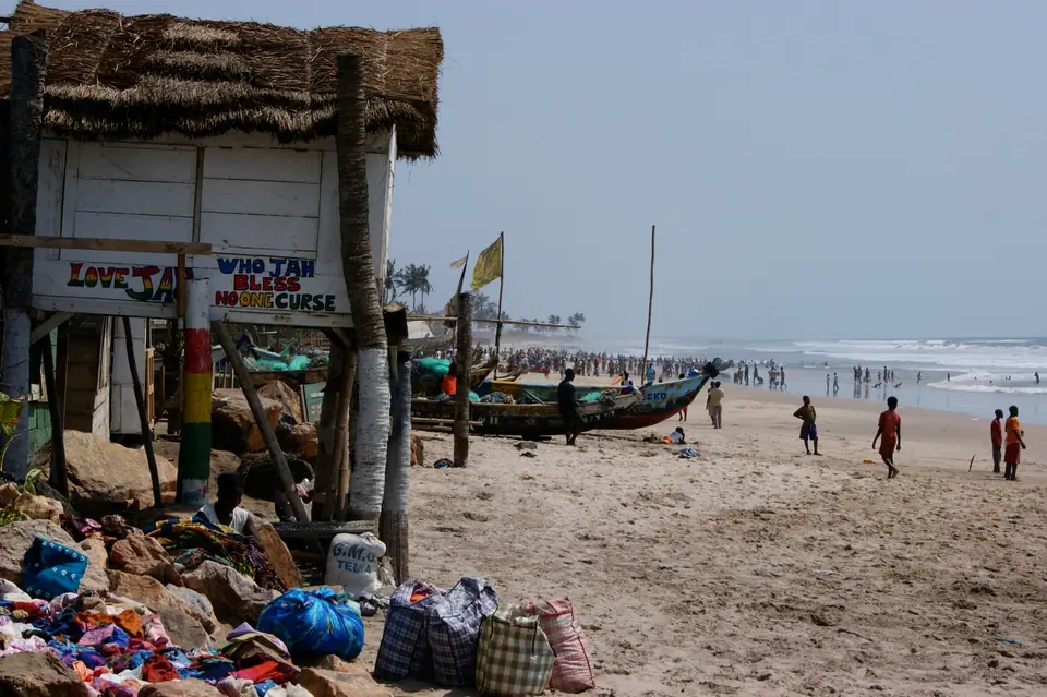
25 stays · KokrobiteWeija Gbawe (around Kokrobite)Weija Gbawe Municipal district
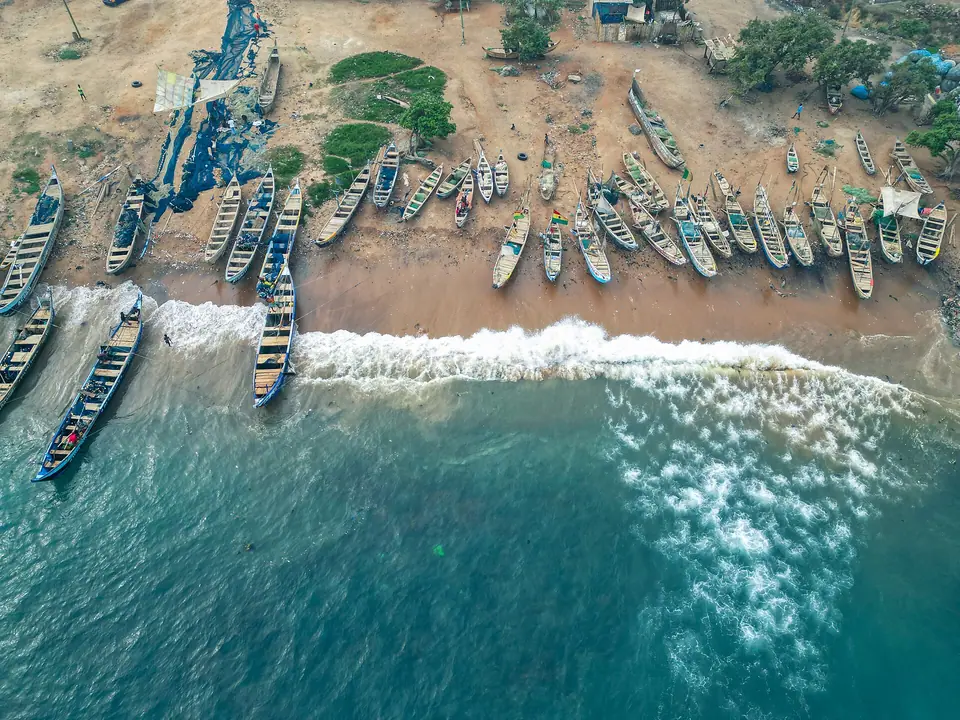
14 stays · AddogonnoKrowor (around Addogonno)Krowor Municipal district
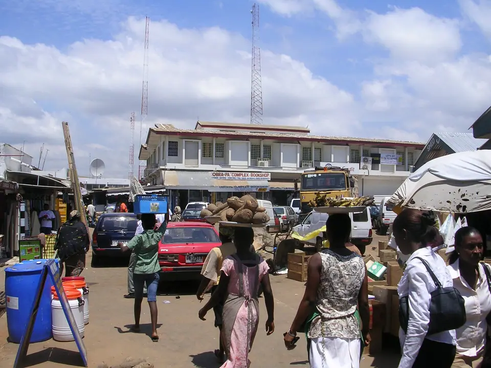
10 stays · Community 4 Kaiser FlatTema (around Community 4 Kaiser Flat)Tema Metropolitan district
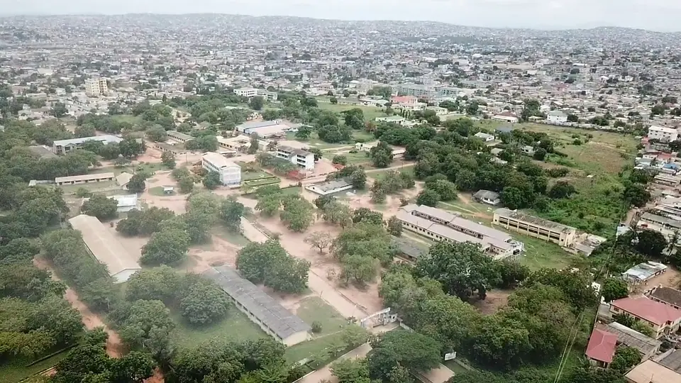
4 stays · DansomanAblekuma West (around Dansoman)Ablekuma West Municipal district
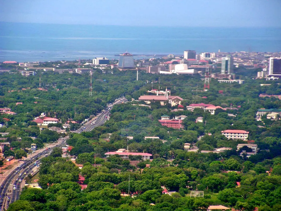
4 stays · TuduAccra: Accra Central, Jamestown, MakolaAccra Metropolis district
Top-rated stays
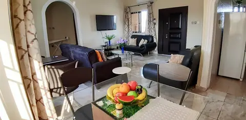
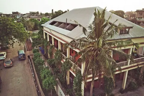
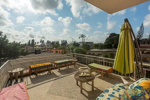
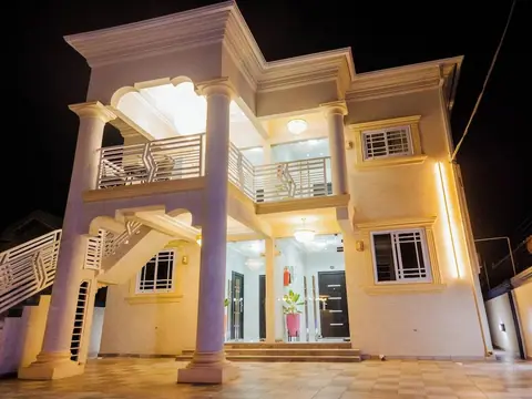
★★★★★ 5-star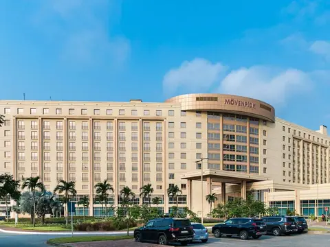 ★★★★★ 5-star
 ★★★★★ 5-star
 ★★★★★ 5-star
 ★★★★★ 5-star
 ★★★★ 4-star
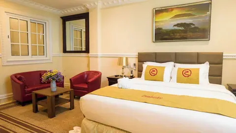 ★★★★ 4-star
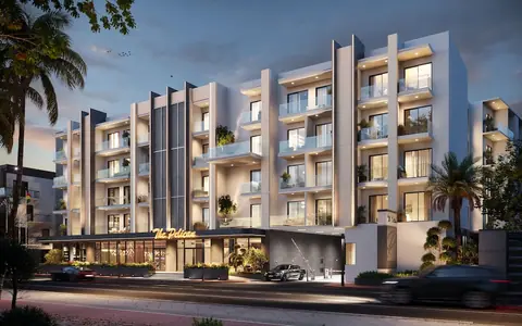 ★★★★ 4-star
Where to stay
Other stays in Greater Accra
7 stays with a guest score or a four- or five-star rating in the IMPT database, five-star first, then four-star, then the rest by the booking supplier's guest score. Prices and availability are live in the IMPT app.
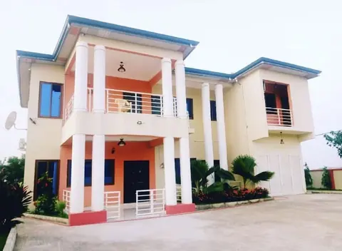 ★★★★ 4-star
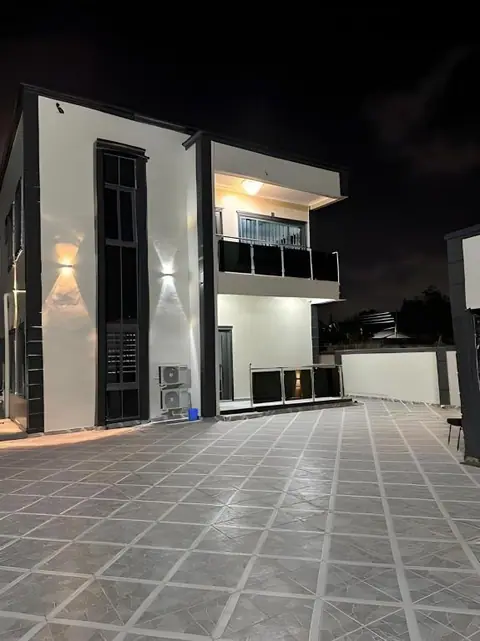 ★★★★ 4-star
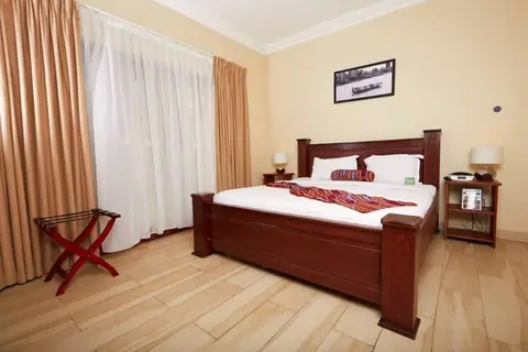 ★★★ 3-star
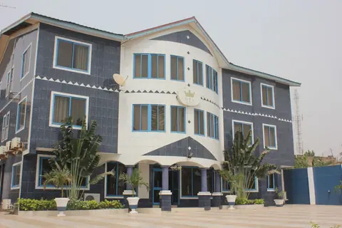 ★★★ 3-star
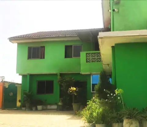 ★★★ 3-star
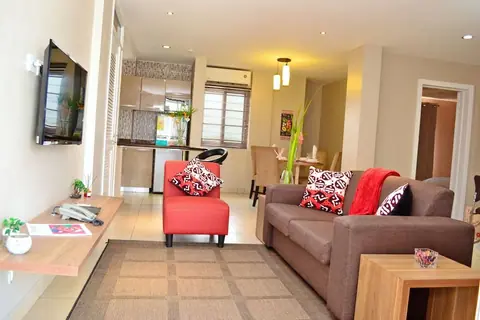
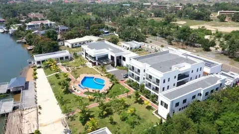
More places to stay
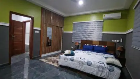
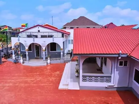
Further listings in the IMPT database with fewer details from the booking supplier (no guest score yet). Check them on the property's page before you book.
Greater Accra: questions
Which parts of Greater Accra are covered for hotels?
Greater Accra is covered district by district, from Accra Central, Jamestown and Makola through Korle Klottey, La Dade-Kotopon and Ayawaso West to Tema, Tema West, Krowor, Ledzokuku, La-Nkwantanang-Madina, Ga East, Ga North, Adenta, Ningo/Prampram, Weija Gbawe, Okaikwei North, Ayawaso East and the Ablekuma districts. Each area page describes the neighbourhood and the kind of stay it suits.
Where should you stay in Greater Accra on a first visit?
For a first visit, the central districts make the most sense. Korle Klottey, which covers Osu, Adabraka and Ridge, puts Makola Market, the Kwame Nkrumah Memorial Park and Jamestown within a short trip, and La Dade-Kotopon adds Labadi's beach. Ayawaso West suits anyone who values a quick run to Accra International Airport.
How do you get from Accra International Airport to hotels in Greater Accra?
The airport sits within about 10 km of the central districts in straight-line terms, though traffic decides the real time. Taxis and app-based car services wait at the terminals, and shared trotros run on nearby roads but are harder to use with luggage. Allow extra time in the morning and late afternoon.
Can you reach the coast from hotels in Greater Accra?
Yes. Labadi's beach is close to the central districts, and the sand continues east through Ningo and Prampram to Ada Foah, where the Volta meets the Atlantic. Tema and Tema West make a practical base for the eastern coast road. Most of these places lie within about 30 km of the city, so one base covers a lot.
When is the driest time to visit Greater Accra?
The coast is comparatively dry by Ghanaian standards, and the steadier weather falls outside the two rainy seasons, which run roughly April to June and September to November. The harmattan brings dust from about December to March. Rain can fall from about March to mid-November, so pack for showers whenever you travel.
Do you need a car to get around Greater Accra?
Not for the city itself. Trotros cover most routes, and taxis and app-based car services fill the gaps. A car or a driver is more useful for the coast east of Tema, for Shai Hills and for anything that finishes after dark, since road travel outside towns at night is best avoided.
Which festivals affect hotel demand in Greater Accra?
Homowo, the Ga harvest festival, falls in August and September, and the Chale Wote Street Art Festival runs in August, with its venue moving between Jamestown and Osu. Both draw visitors to Accra, so check the current dates before you travel and book early if your trip coincides with them.
What should you check before booking hotels in Greater Accra?
Confirm the current rate and what it covers, such as breakfast, taxes and an airport transfer, and ask about the approach road, parking, a water tank and backup power. Check the district against your plans, since traffic shapes every journey, and read the cancellation terms before you commit.
Read next
Hotels in the Eastern RegionThe Eastern Region rises from the Accra plains to the Akuapem ridge and the Volta gorge. Its capital, Koforidua, and the ridge towns around it make a calm base for gardens, waterfalls and the lake.Hotels in the Volta RegionThe Volta Region stretches from Lake Volta to the Togolese border, with Ho as its capital and Hohoe as the gateway to the falls and hills. Here is how to choose a base and a place to stay.Hotels in the Central RegionThe Central Region holds two of Ghana's great castles, a stretch of Atlantic coast and a compact set of towns within easy reach of each other. This guide covers where to base yourself.
IMPT Ghana editorial team · Reviewed 13 November 2026. Hotels are placed by their own map pin inside Ghana's official district boundaries (Ghana Statistical Service). Facts checked against the Ghana Tourism Authority (visitghana.com), the Ghana Immigration Service and other official sources listed in our editorial policy. Prices are never shown: live rates open in the IMPT app.
Find a stay in Greater Accra
Photo credits: Ana Kenk / Pexels; The Artboard / Pexels; Ghassan Mroue, CC BY-SA 3.0, via Wikimedia Commons; Enock4seth, CC BY-SA 4.0, via Wikimedia Commons; Academic City, Ghana, CC BY-SA 4.0, via Wikimedia Commons; Matti Blume, CC BY-SA 4.0, via Wikimedia Commons; hh oldman, CC BY 3.0, via Wikimedia Commons; Elodie Ouelo, CC BY-SA 4.0, via Wikimedia Commons; Fquasie, CC BY-SA 4.0, via Wikimedia Commons; Annabel Symington, CC BY 2.0, via Wikimedia Commons; Samson Craig McArthur Sik, CC BY-SA 4.0, via Wikimedia Commons; Axe, CC BY-SA 4.0, via Wikimedia Commons; Gkbediako, CC BY-SA 4.0, via Wikimedia Commons; finnish eye, CC BY-SA 2.0, via Wikimedia Commons.